Contents of this entry
A country divided by rivers, kingdoms and historiesReading a landscape that will be lostPrimary referencesRelated encyclopedia entries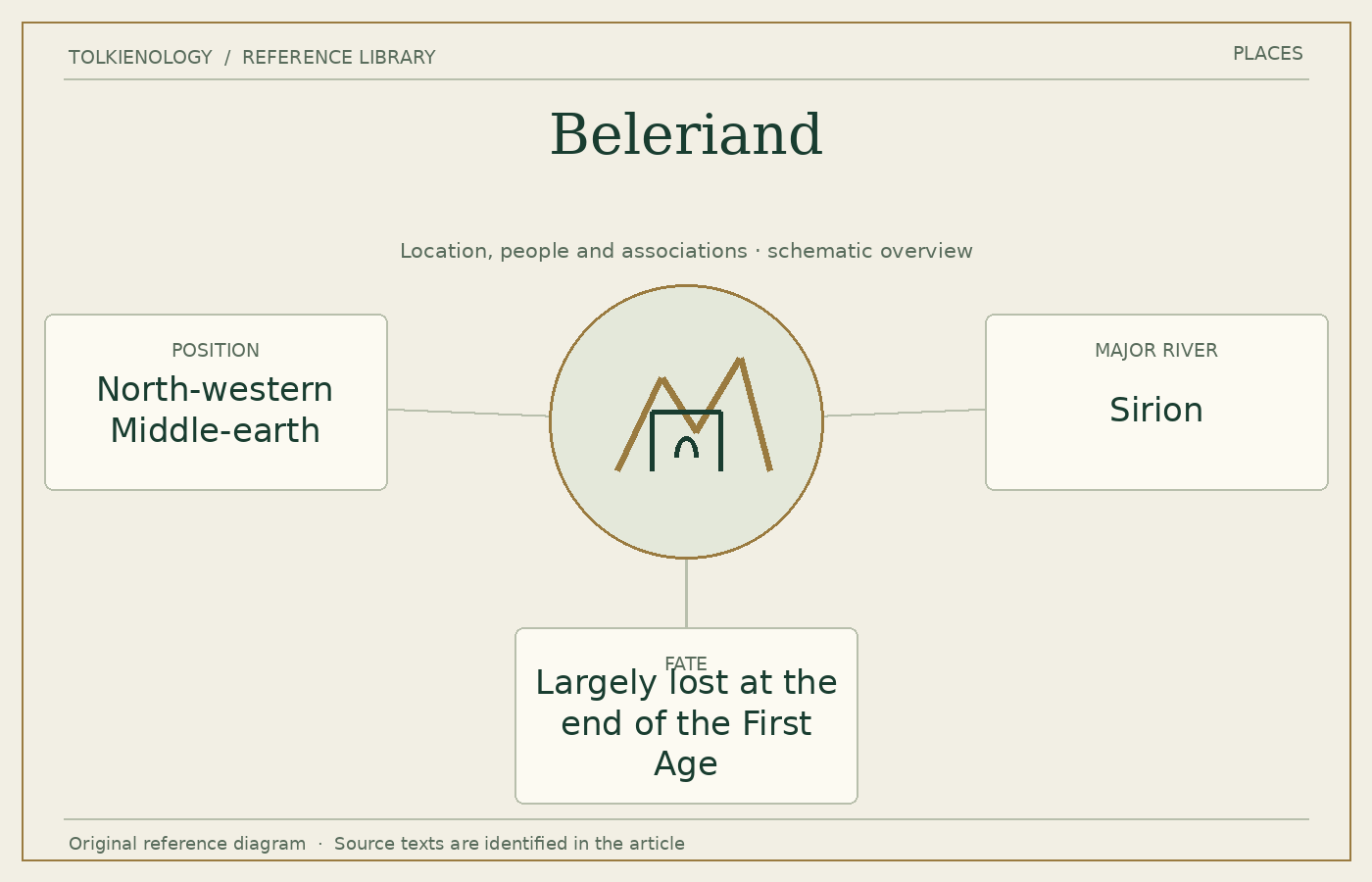
A country divided by rivers, kingdoms and histories
Sirion is a major organising river, while the Blue Mountains form the eastern boundary of the principal narrative region. Doriath, Nargothrond, Gondolin, the Falas and the northern defensive lands are parts of a political geography that changes as peoples arrive, alliances form and frontiers collapse.
The Sindar’s long residence precedes the return of the Noldor, and the arrival of Men introduces further migrations and relationships. No single kingdom governs the whole region. A map showing names without those differences can misleadingly suggest a unity that the narrative repeatedly shows to be fragile or absent.
Reading a landscape that will be lost
The War of Wrath transforms and largely submerges Beleriand. The remnant eastern lands help connect the old geography with Lindon in the following Age. This is why the reader should not search for every First Age city somewhere on the main map in The Lord of the Rings.
That loss affects the later narrative’s use of memory. References to Gondolin, Beren or the earlier wars can carry the weight of places that no longer exist in an ordinary recoverable form. The past is not simply a neighbouring country awaiting another excursion.
For orientation, begin with the map accompanying The Silmarillion and follow one river or kingdom at a time. The story’s compressed movement between generations becomes easier when geographical relationships are kept separate from the temptation to assign a precise modern latitude or identify a real-world landscape as the single original of the whole region.
Primary references
The Silmarillion, “Of Beleriand and Its Realms” and “Of the Voyage of Eärendil and the War of Wrath”; The Lord of the Rings, Appendix A and the later maps of Lindon and the Blue Mountains.